Kasey and I decided to take advantage of an early (hot) June weekend and explore her new stomping grounds in Fairbanks. Beaver Creek is a National Wild & Scenic River just north of Fairbanks in the White Mountains with road access. We slept in and got a little bit of a late start-we put in for the 35 mile float starting at Nome Creek at 1 pm.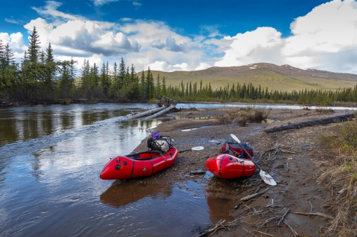 Beaver Creek is a Class 1 river that meanders through low, rolling mountains. It’s beautiful in every direction.
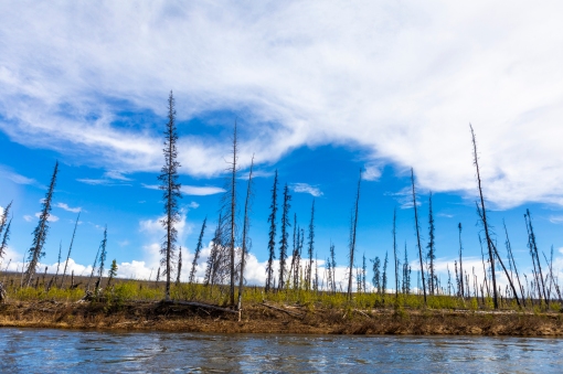 Lots of dead wood from previous forest fires. I love the interior weather-we had mostly hot & sunny, with thunderstorms rolling through at jet speed (which was a welcome temperature difference) and rolling out just as fast. We never got more than a couple drops of rain, however, surrounding us it looked like some areas were getting downpours.

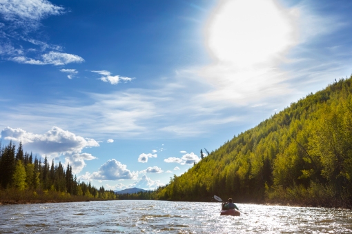 Late evening Alaska sun! We finished the 35 mile float in 8 hours, including stopping to cook dinner on a gravel bar. We arrived at the Borealis LaFevre cabin well before we expected to. It was a great break from the bugs, which were getting worse & worse. Unfortunately, the area surrounding the cabin was trashed by previous users 😦 The cabin gets heavy use all year long, but we were disappointed that users hadn’t been taking care of it. We found the small window inside the cabin not seated properly, so it allowed mosquitos in….Kasey got the majority of the buzzing & bites, as she slept closest to the window. After a few bites, I burrowed down in my sleeping bag to get some relief. It was still much better to be inside the cabin than out, mosquito-wise!

 Tussocks! We found the winter trail and started our 20 mile hike through the swamp, tussocks, and burnt forest. After about a mile, we found a channel that we had to unpack our boats, re-inflate them, and paddle the short distance to the other side to continue our journey.
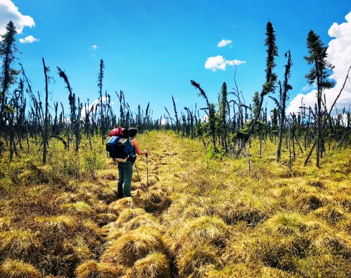
 Eventually, we found the Summit Trail, which started off nicely-a boardwalk through the tundra! Which quickly turned into bushwhacking on the boardwalk, as the environment has taken over. Not too long after that, the boardwalk disappears, so does the faint trail & it’s climbing over downed trees from a previous fire & bushwhacking through alders at the same time. Occasionally, we would find the trail again for a short time. And follow it until it suddenly stopped.


 Wildflowers! They were starting to pop up everywhere! It was super hot & there wasn’t much water available (I got a little dehydrated). We eventually found small kettle ponds to purify water from.
  Eventually, we got to the easy ridge walking! We thought we might camp up high to (hopefully) avoid the majority of the mosquitos, but even on the ridges the mosquitos were bad. It felt like we had our own, personal clouds of them following us.
 We had originally thought we could do the 20 mile hike in one day (which can be done), but allotted two days. After a late start that morning, and lots of bushwhacking, we found the Summit Shelter unoccupied and in great condition, so we decided to stay there, instead of pressing on to the highway and getting to the truck at 1 AM. It took us 9.5-10 hours to go 12 miles to the Summit Shelter. I think that’s a new record for slow 🙂
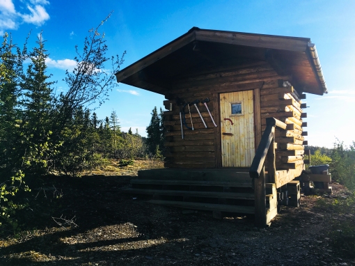
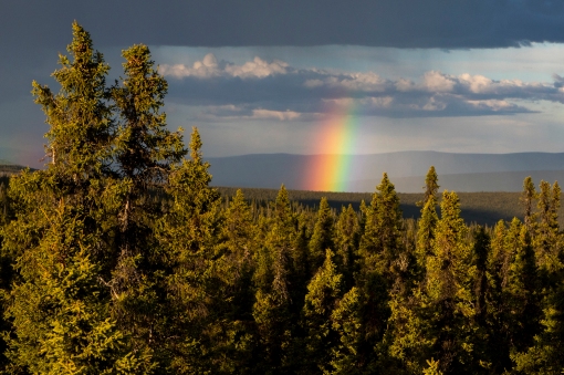 The 8 miles from the Summit Shelter to the Elliot Highway are easy, trail is in great shape (it’s well used, crazy difference between that part of the trail and the 12 miles between cabins). We had some post holing through snow, but it was almost a welcome relief from the hot sun 🙂
You are a true adventurer and you know how to present a fun story in photos and words. Thanks for sharing.
Thanks Ike!!
these photos are great!! thanks for sharing!